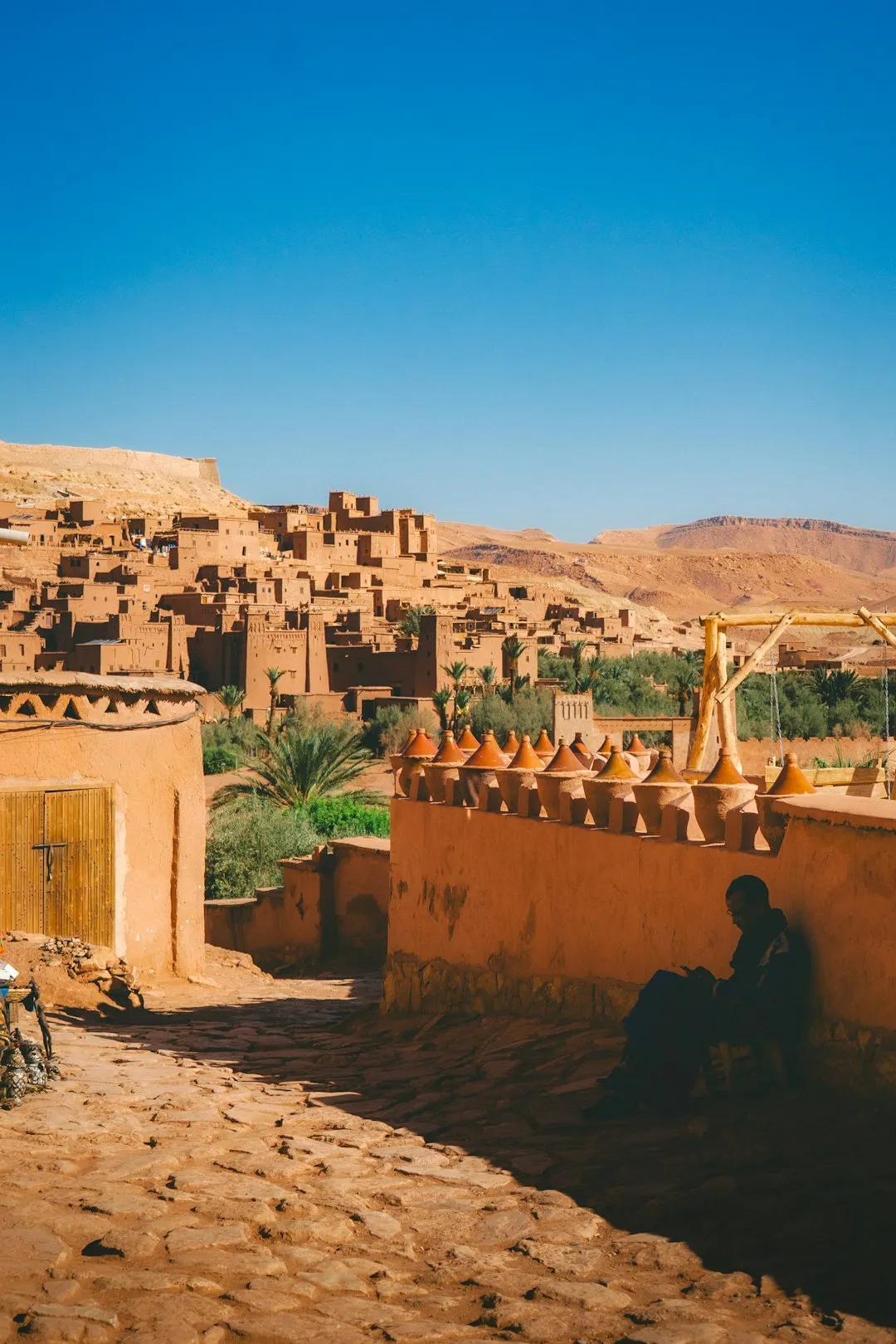
Morocco — Marrakech
The Toubkal Refuge to Summit trail in Morocco is a demanding 4km ascent to North Africa's highest peak, Jebel Toubkal (4,167m). This challenging section offers a steep, rugged climb over scree slopes and rocky terrain, gaining nearly 1,000 vertical metres. Prepare for a strenuous push through high-altitude wilderness, culminating in breathtaking panoramas from the summit.
Distance: 4.0 km
Elevation Gain: 997 m
Difficulty: Challenging
Duration: 6-7 hours
The ascent from the Toubkal Refuges to the summit of Jebel Toubkal is the definitive mountaineering experience in the High Atlas Mountains of Morocco. Standing at 4,167 metres, Jebel Toubkal is the highest peak in North Africa and the entire Arab world. This specific section of the trail represents the final, most challenging push of the expedition, climbing nearly 1,000 vertical metres over a distance of just 4 kilometres. It is a journey that transitions from the high-altitude sanctuary of the stone refuges, nestled in a glacial cirque, to a world of jagged ridgelines, vast scree slopes, and a summit panorama that stretches across the Marrakech Plain to the north and the pre-Saharan anti-Atlas to the south. While the climb is technically non-technical during the summer months, the combination of thin air, steep gradients, and unpredictable mountain weather makes it a formidable undertaking that requires physical stamina and mental resolve.
The Toubkal Refuge to Summit trail is the climax of a multi-day journey through the High Atlas. Most trekkers spend two days hiking from the village of Imlil to reach the base camp at 3,207 metres, where two primary stone huts—the Refuge du Toubkal (Neltner) and Les Mouflons—provide shelter. The final ascent typically begins in the pre-dawn darkness, a strategic choice designed to ensure hikers reach the summit before the midday heat and the frequent afternoon cloud cover that can obscure the legendary views. The route follows the South Col (Ikhibi Sud), a massive natural amphitheatre of rock and scree that leads the way to the roof of the continent.
The landscape is one of stark, prehistoric beauty. Unlike the lush, terraced valleys of the lower Atlas, the environment above 3,000 metres is a high-altitude desert. The rock is primarily volcanic in origin, consisting of dark andesites and rhyolites that glow with a deep ochre hue in the rising sun. The trail is a test of rhythm and breathing; the air contains significantly less oxygen than at sea level, and every step requires a conscious effort. However, the reward is unparalleled. As you crest the final ridge, the iconic metal pyramid of the summit comes into view, marking a point where the African tectonic plate was thrust skyward millions of years ago. On a clear day, the contrast is staggering: the shimmering heat haze of the Sahara Desert to the south meets the snow-capped peaks of the surrounding 4,000-metre giants, including Ouanoukrim and Akioud.
This is not merely a physical challenge but a cultural immersion. The High Atlas is the ancestral home of the Amazigh (Berber) people, whose resilience and hospitality define the trekking experience. From the muleteers who transport supplies to the refuges to the expert guides who navigate the shifting scree, the human element of the Toubkal climb is as memorable as the geology. Whether tackled as a summer trek or a winter mountaineering expedition requiring crampons and ice axes, the ascent to the summit of Toubkal remains the ultimate Moroccan adventure.
The history of Jebel Toubkal is deeply intertwined with the Amazigh culture of the High Atlas. For centuries, the local inhabitants of the Imlil and Mizane valleys viewed the high peaks with a mixture of reverence and pragmatism. While the high pastures were used for seasonal grazing, the true summits were often regarded as the domain of spirits. The name "Toubkal" is thought to be derived from the Amazigh words for "the land that looks over all," a fitting description for a peak that dominates the regional skyline.
The first recorded European ascent of Jebel Toubkal took place on 12 June 1923. The expedition was led by the Marquis de Segonzac, a French explorer and geographer, accompanied by Vincent Berger and Hubert Dolbeau. At the time, Morocco was a French protectorate, and the colonial administration was keen to map and survey the "Great Atlas." The explorers were astonished to find that Toubkal was significantly higher than previously estimated, surpassing the peaks of the French Alps in sheer elevation, if not in technical difficulty. Following this first ascent, the French Alpine Club (Club Alpin Français) established the first refuge at the base of the mountain in 1938, named the Neltner Refuge in honour of the geologist Louis Neltner. This original stone structure still forms part of the modern Refuge du Toubkal.
Culturally, the trail passes through a landscape of spiritual significance. Below the refuge lies the shrine of Sidi Chamharouch, a "King of the Jinns" in local folklore. While the shrine itself is off-limits to non-Muslims, the surrounding settlement is a vital stopping point for pilgrims and trekkers alike. The presence of such a site underscores the fact that for the people of the Atlas, these mountains are not just a playground for hikers but a living, sacred landscape. In recent years, the Moroccan government has formalised the trekking industry, requiring all hikers to be accompanied by a certified local guide. This policy, implemented for safety and security, has further integrated the local community into the mountain's modern history, ensuring that the benefits of tourism support the mountain villages that have called these valleys home for millennia.
Want more background? Read extended notes on history and cultural context → Learn more
The experience of climbing Jebel Toubkal changes dramatically with the seasons, requiring different skill sets and equipment depending on the month of travel.
Spring (April to May): This is widely considered the "golden window" for Toubkal. The lower valleys are in full bloom with cherry and apple blossoms, while the high peaks still retain a significant snowpack. During this period, the ascent from the refuge usually requires crampons and an ice axe, as the scree slopes are covered in firm snow, making for a more direct and aesthetically pleasing climb. The temperatures are moderate, avoiding the extreme heat of summer and the bitter cold of mid-winter.
Summer (June to August): In summer, the snow recedes completely, revealing the "Ikhibi Sud" (South Col) as a vast slope of loose scree and boulders. This is the peak season for trekkers who do not have winter mountaineering experience. While the climb is technically a "walk-up," the heat can be intense, even at high altitudes. It is not uncommon for temperatures in Marrakech to exceed 40°C, while the summit remains a cool 10°C to 15°C. Afternoon thunderstorms are a common occurrence, often bringing sudden hail or lightning, making an early descent essential.
Autumn (September to October): Similar to spring, autumn offers stable weather and clear skies. The summer crowds begin to thin, and the air is crisp. The landscape is at its driest, and the lack of snow makes the scree slopes particularly slippery on the descent. This is an excellent time for photography, as the dust from the Sahara often settles, providing exceptionally long-range visibility.
Winter (November to March): During the winter months, Toubkal transforms into a serious alpine environment. Heavy snowfall and sub-zero temperatures are the norm. The ascent becomes a technical mountaineering exercise, with the risk of avalanches in the couloirs. Winter climbers must be proficient in the use of crampons, ice axes, and self-arrest techniques. The refuges can be extremely cold at night, and the wind chill on the summit ridge can drop temperatures to -20°C or lower.
04:30 – 05:30: Pre-Dawn Preparation
05:30 – 08:30: The Ascent of Ikhibi Sud (South Col)
08:30 – 09:30: The Summit Ridge and Final Push
09:30 – 12:00: The Descent to the Refuge
13:00 – 17:00: Optional Descent to Imlil
Important Notes:
Climbing Toubkal requires careful logistical planning, starting in the city of Marrakech. Marrakech is the primary international gateway, located approximately 65 kilometres north of the trailhead. From Marrakech, you must travel to the mountain village of Imlil, which serves as the "base camp" for all Toubkal expeditions. Transport is typically via "grand taxi" (shared or private) from the Bab Er Robb taxi rank, taking roughly 90 minutes. The road is paved and well-maintained, winding through the apple orchards of Asni before climbing into the heart of the Atlas.
Physical fitness is a prerequisite. While the trail is not technically difficult, the sheer vertical gain and the altitude make it a strenuous endurance event. It is recommended that hikers engage in cardiovascular training (hiking, running, or cycling) for at least 2–3 months prior to the trip. Additionally, spending at least one night in Imlil (1,740 m) or Aroumd (1,900 m) before heading to the refuge is essential for initial acclimatisation.
Since 2018, it has been mandatory for all foreign trekkers to be accompanied by a certified local guide. This can be organised in advance through a trekking agency or upon arrival in Imlil at the Bureau des Guides. Your guide will handle the registration with the local authorities and coordinate mule transport for your heavy bags to the refuge.
There are two main options for overnight stays at the base of the summit trail, both located at approximately 3,207 metres. These are stone-built mountain huts designed to withstand the harsh alpine environment.
1. Refuge du Toubkal (Neltner): Managed by the Club Alpin Français (CAF). This is the older and more traditional of the two. It offers communal dormitories with bunk beds, a large dining area with a fireplace, and basic shared bathroom facilities. 2. Les Mouflons de Toubkal: A privately owned refuge located just a few metres away. It is slightly newer and offers a similar setup of communal dorms, though it also has a few smaller private rooms (which must be booked well in advance). Facilities are generally considered slightly more modern than the CAF refuge.
Hut Facilities:
What is NOT provided:
Costs and Bookings: Expect to pay between 300 and 450 MAD per night for half-board (dinner, bed, and breakfast). Bookings are essential, especially during the peak months of April, May, and September. Your guide or agency will usually handle these reservations.
There is no formal "permit" system in the sense of a lottery or a limited-entry ticket like the Inca Trail. However, the Moroccan government has implemented strict regulations for the Toubkal National Park to ensure the safety of visitors. These regulations are enforced through a series of checkpoints.
Mandatory Guide Requirement: Since December 2018, all foreign nationals are required by law to be accompanied by a licensed Moroccan mountain guide to hike Jebel Toubkal. You will not be allowed past the checkpoints without one. This regulation was introduced to improve safety and provide local employment. Guides can be hired through reputable agencies in Marrakech or at the Bureau des Guides in Imlil.
Registration and Checkpoints:
Costs: There is no specific fee for the "permit" itself, but the cost of the guide is mandatory. A private guide typically costs between 400 and 600 MAD per day, depending on the group size and the season. If you book a package through an agency, these costs, along with refuge fees and mule transport, are usually included in the total price.
Passport: You must carry your physical passport with you on the trail. A photocopy is often not sufficient for the police checkpoints.

Detailed route notes, maps, logistics & tips for the Toubkal Refuge To Summit (PDF).

Precisely traced GPX for the Toubkal Refuge To Summit, ready for your GPS or favourite mapping app.
The High Atlas and the surrounding regions offer a wealth of experiences for those looking to extend their stay in Morocco:
Altitude Sickness (AMS): This is the primary safety concern on Toubkal. At 4,167 metres, the air pressure is significantly lower than at sea level. Symptoms of Acute Mountain Sickness include headache, nausea, dizziness, and loss of appetite. The best prevention is a slow ascent and proper hydration. If symptoms persist or worsen (e.g., persistent cough or loss of coordination), you must descend immediately. Your guide is trained to recognise these signs, but you must be honest about how you feel.
Weather Volatility: The High Atlas creates its own weather systems. Even in summer, temperatures can drop below freezing at night, and sudden storms can bring snow or hail to the summit. High winds on the ridge can make walking difficult and increase the risk of hypothermia. Always follow your guide's advice regarding turnaround times. If a storm is approaching, the summit is not worth the risk.
Terrain Hazards: The scree slopes of Ikhibi Sud are notoriously slippery. A fall on loose rock can result in sprains or fractures. Trekking poles provide essential stability. In winter, the risk of avalanches in the couloirs is real; never attempt a winter ascent without a guide who understands snow stability.
Emergency Services: There is no formal mountain rescue service in Morocco equivalent to those in the Alps or Rockies. Rescues are typically coordinated by local guides and the Gendarmerie, often using mules for evacuation to Imlil. Helicopter evacuations are rare and extremely difficult to arrange. Ensure your travel insurance specifically covers "mountaineering up to 4,500m" and includes emergency repatriation.
Water Safety: Never drink untreated water from the streams, as they are often contaminated by livestock. Use a reliable filtration system or purchase bottled water at the designated stops.
The Plane Wreckage: On the slopes of the neighbouring peaks, remnants of an engine and fuselage from a 1960s plane crash can still be seen. While not directly on the South Col route, it is a haunting and popular side trip for those spending an extra day at the refuge. Ask your guide for the specific location, as it requires a detour into a side valley.
Sidi Chamharouch: Located at 2,310 metres on the way to the refuge, this white-painted boulder marks the entrance to a sacred shrine. While the inner sanctum is for Muslims only, the village around it is a fascinating place to stop for freshly squeezed orange juice or mint tea. It is a hub of local culture where you can observe pilgrims who come from across Morocco seeking spiritual healing.
Tizi n'Toubkal (The Col): At 3,940 metres, this is more than just a waypoint. It is a dramatic geographical divide. To the north lies the Mizane Valley and the path back to civilisation; to the south, the landscape drops away into the rugged, remote valleys of the Anti-Atlas. It is often the windiest part of the climb, but the sudden expansion of the horizon is a highlight of the journey.
The Summit Pyramid: The metal structure at the top of Toubkal was originally placed there by the French military for surveying purposes. Today, it is the ultimate photo opportunity. Look for the various plaques and inscriptions left by climbing clubs from around the world. On a clear day, look south-west to see the Sirwa massif, an ancient volcanic range that bridges the High Atlas and the Sahara.
The High Atlas is a fragile ecosystem under increasing pressure from tourism. As a visitor, it is your responsibility to minimise your impact on this ancient landscape. The "Leave No Trace" principles are essential for preserving the beauty of Toubkal for future generations.
Waste Management: The "pack it in, pack it out" rule is absolute. There is no formal waste collection service on the mountain. Any rubbish left at the refuge or on the trail must eventually be carried down by mules. Avoid bringing unnecessary packaging and carry a small bag for your own litter, including fruit peels and nut shells, which decompose very slowly in the cold, dry alpine air.
Water Protection: The streams of the Atlas are the lifeblood of the villages below. Do not use soap or detergents directly in the water. If you need to wash, carry water at least 30 metres away from the source and use biodegradable products.
Respect the Wildlife: You may encounter the Barbary Ground Squirrel or various birds of prey like the Lammergeier (Bearded Vulture). Never feed the animals, as it disrupts their natural foraging habits and can make them dependent on human scraps.
Cultural Respect: You are walking through the homeland of the Amazigh people. Always ask for permission before taking photos of locals, especially women and children. Dress modestly, even when hiking; while shorts are common among trekkers, keeping shoulders covered is a sign of respect in the mountain villages. Avoid public displays of affection and be mindful of the call to prayer if you are in a village during those times.
Stay on the Trail: The scree slopes are already prone to erosion. Avoid taking shortcuts on the zig-zags, as this creates new drainage channels that accelerate soil loss during the spring melt.